

This feature is only available in the Python SDK.
Local File System (including Dropbox-synced folders)
UseLocalFileSystemStorageClient when your dataset datapoints already reference files on a local or mounted path.
This client does not download remote data. Instead, it resolves and validates local paths using each datapoint’s location field.
Python
Datapoint fields used by this client
location(required): Path to the product directory or file, relative to the configuredroot.thumbnail,overview, orquicklook(optional): Relative path used bydownload_quicklookandquicklook.
Python
Copernicus Data Space
The Copernicus Data Space is an open ecosystem that provides free instant access to data and services from the Copernicus Sentinel missions. Check out the ASF Open Data datasets that are available in Tilebox.Access Copernicus data
To download data products from the Copernicus Data Space after querying them via the Tilebox API, you need to create an account and then generate S3 credentials here. The following code snippet demonstrates how to query and download Copernicus data using the Tilebox Python SDK.Python
Output
Partial product downloads
For cases where only a subset of the available file objects for a product is needed, you may restrict your download to just that subset. First, list available objects usinglist_objects, filter them, and then download using download_objects.
For example, a Sentinel-2 L2A product includes many files such as metadata, different bands in multiple resolutions, masks, and quicklook images. The following example shows how to download only specific files from a Sentinel-2 L2A product.
Python
Output
Quicklook images
Many Copernicus products include a quicklook image. The Tilebox storage client includes support for displaying these quicklook images directly when running in an interactive environment such as a Jupyter notebook.Python
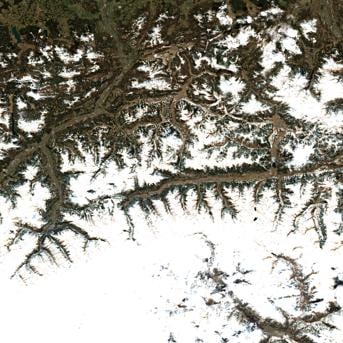
S2A_MSIL2A_20240801T002611_N0511_R102_T58WFV_20240819T170544.SAFE © ESA 2024
USGS Landsat
The United States Geological Survey (USGS) provides a wide range of Earth observation data, including Landsat data, which are also available as open data through Tilebox.Accessing Landsat data
Landsat data is available in a S3 bucket. The following code snippet demonstrates how to query and download Landsat data using the Tilebox Python SDK.The USGS Landsat S3 bucket is a requester-pays bucket.
This means that you will need to have an AWS account to access the data, and then have your AWS credentials configured in your environment.
Check out the boto3 documentation for more information on how to configure your credentials.
Python
Output
Partial product downloads
For cases where only a subset of the available file objects for a product is needed, you may restrict your download to just that subset. First, list available objects usinglist_objects, filter them, and then download using download_objects.
For example, a Landsat 9 L2 SR product includes many files such as metadata, different bands in multiple resolutions, masks, and quicklook images. The following example shows how to download only specific files from a Landsat 9 L2 SR product.
Output
Quicklook images
Many USGS products include a quicklook image. The Tilebox storage client includes support for displaying these quicklook images directly when running in an interactive environment such as a Jupyter notebook.Python
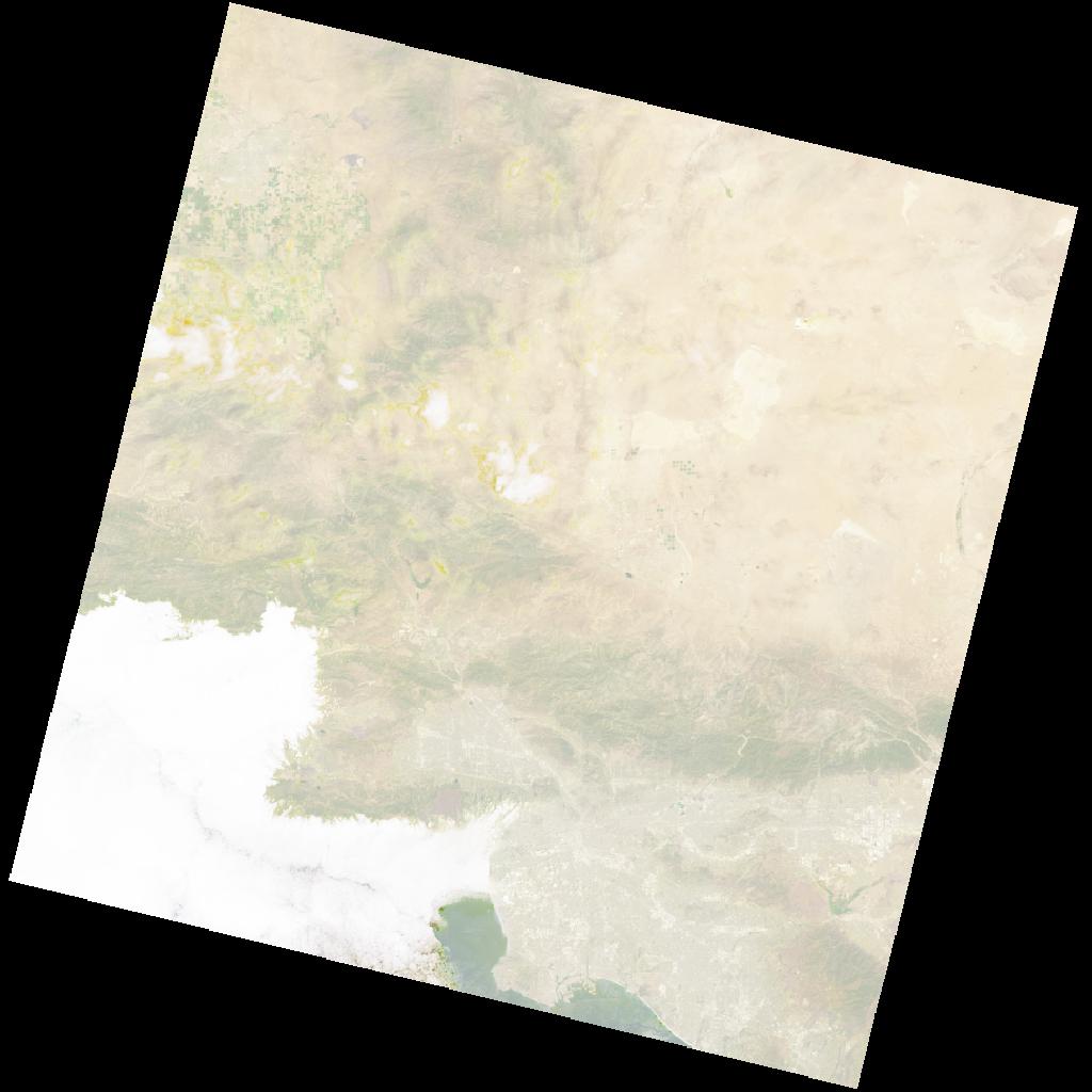
Image LC09_L2SP_088241_20240801_20240802_02_T1_thumb_small.jpeg © USGS
Alaska Satellite Facility (ASF)
The Alaska Satellite Facility (ASF) is a NASA-funded research center at the University of Alaska Fairbanks. Check out the ASF Open Data datasets that are available in Tilebox.Accessing ASF Data
You can query ASF metadata without needing an account, as Tilebox has indexed and ingested the relevant metadata. To access and download the actual satellite products, you will need an ASF account. You can create an ASF account in the ASF Vertex Search Tool. The following code snippet demonstrates how to query and download ASF data using the Tilebox Python SDK.Python
Output
Quicklook images
Many ASF products include a quicklook image. The Tilebox storage client includes support for displaying these quicklook images directly when running in an interactive environment such as a Jupyter notebook.Python
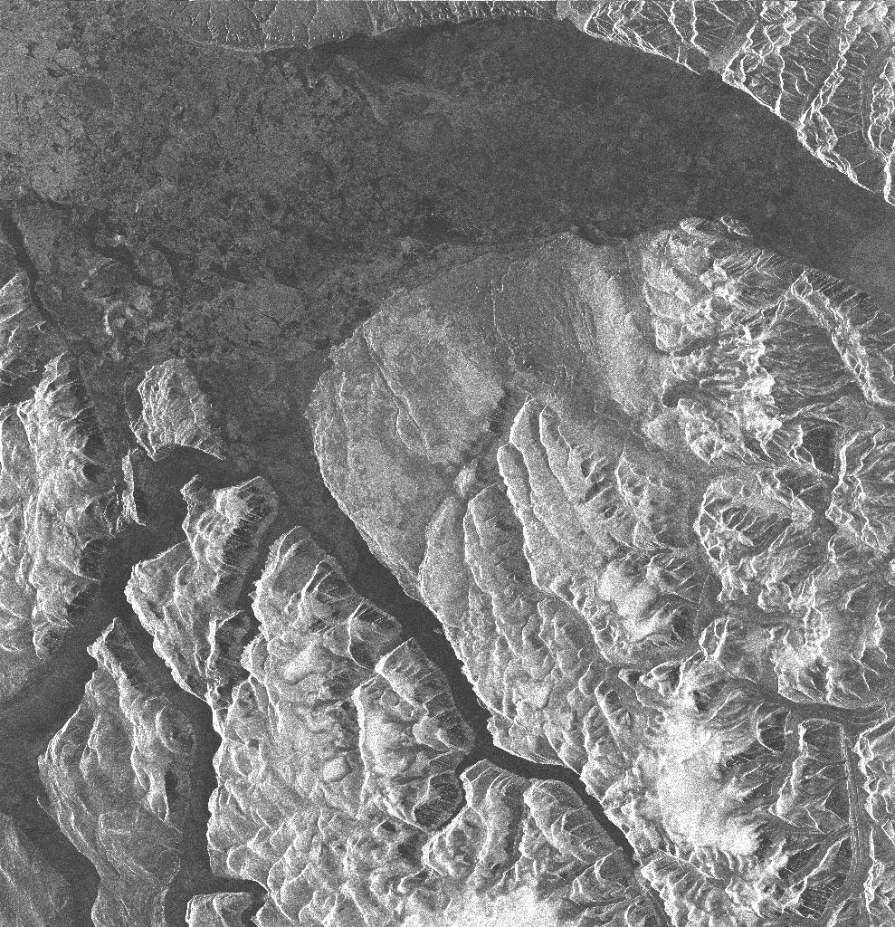
Image E2_71629_STD_F183.jpg © ASF 2009
Further Reading
Getting Started with ASF
ASF Data Formats and Files
Umbra Space
Umbra satellites provide high resolution Synthetic Aperture Radar (SAR) imagery from space. Check out the Umbra datasets that are available in Tilebox.Accessing Umbra data
No account is needed to access Umbra data. All data is under a Creative Commons License (CC BY 4.0), allowing you to use it freely. The following code snippet demonstrates how to query and download Umbra data using the Tilebox Python SDK.Python
Output
Partial product downloads
For cases where only a subset of the available file objects for a given Umbra data point is necessary, you can limit your download to just that subset. First, list available objects usinglist_objects, filter the list, and then use download_objects.
The below example shows how to download only the metadata file for a given data point.
Python
Output